Espai Natural de les Guilleries-Savassona
The Guilleries Loop
Curated by Gritline editorial · Last ridden Jun 14, 2026
74 km·1,785 m
Watch the ride
From 527 m·Up to 1068 m·74 km
The route
A Romanesque bell tower rising straight out of a reservoir, with a drowned village somewhere beneath it, that's the image this route is built around. The Guilleries, the forested hills east of Vic, give you that, plus 74 km of smooth, fast gravel and a landscape stitched together by an 11th-century church, a 15th-century bridge, and a century of bandits. It's the gentler counterpart to a route like Pedraforca: a real day out on distance and climbing, but with almost nothing technical underfoot: the kind of ride where you can actually look up and enjoy it.
Out of Tavèrnoles, along the water
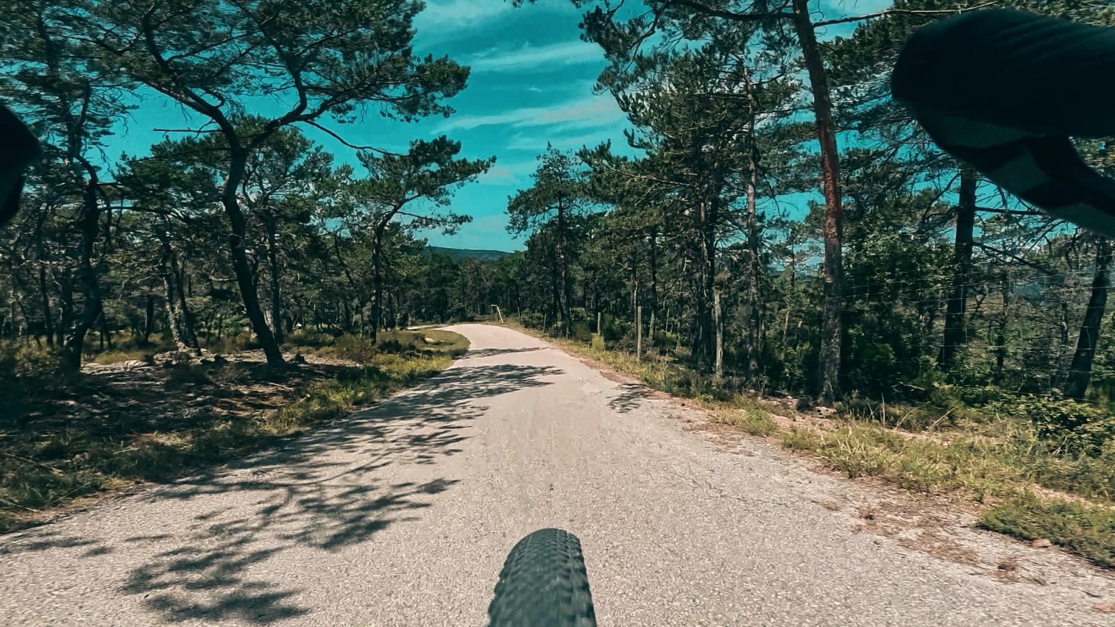
We started in Tavèrnoles, the same village that La Plana Gravel Osona leaves from. The ride opens on tarmac and climbs gently until the first patch of gravel, then settles onto a winding road that traces the edge of the Sau Reservoir.
That's where you'll might spot it: a stone bell tower standing alone in the water, belonging to an the old church of Sant Romà de Sau. When the river Ter was dammed in the early 1960s to create the reservoir, the whole village was flooded and its people moved to higher ground, but the church stayed put, and its square bell tower has poked above the surface ever since, give or take a drought. In dry years the water drops far enough that the entire church, and the bones of the old village, climb back into the daylight. It's said to be the oldest standing submerged church in the world.
A stop at Can Morilla, then the big climb
We stopped early, some would say too early, at Can Morilla, about 20 km in, for a cold drink and to fill bottles. It was a hot day, and there was a big climb coming. That climb kicks off right after the Pont de Malafogassa, a slender Gothic bridge over the Riera Major. The bridge you cross dates to around 1498, built on the ruins of an earlier one that the 1420s earthquakes brought down, and it once carried the royal road between Vic and Girona.
Past the bridge the track turns to red compact dirt and tips uphill. If you're used to rocky, technical terrain, this is a soothing kind of climb: steady, grippy, and well worth the views it hands back.
Rolling through bandit country
Once the climb is behind you the route goes rolling: mostly good-quality dirt roads where you can ease off and take it in. Worth knowing what you're rolling through, too. For the best part of a century these were the most feared forests in Catalonia. In the late 1500s and 1600s the Guilleries were bandit country, and their most famous son was Joan Sala, "Serrallonga," who ran a band of more than a hundred men through exactly these hills, working the same royal roads that bridge once carried. The dense woods that make the riding so pretty are the same ones that made the bandits impossible to catch.
Back to the bridge, and the way home
The loop eventually brings you back to the Pont de Malafogassa and on a hot day, that's good news. Drop down for a dip in the river, or roll the few hundred metres to Camping El Pont for food. From there it's an easy run back to Tavèrnoles: a couple of quick descents and some gentle terrain to spin the legs out.
Make a weekend of it
If you're coming from out of town, this pairs neatly with The Pedraforca Loop: the two start points sit about an hour apart by car, so you can ride the technical Pedraforca one day and then the smooth, scenic Guilleries the next.
Possible bailout
You can easily shave off 25 km and 750 m of climbing by cutting out the loop that goes eastward from the Pont de Malafogassa.
Surface mix
Granular surface breakdowns (singletrack, mud, rock, etc.) live in Komoot, open the GPX there for the full picture.
Comments
Be the first to share notes
Drop some feedback or share a note if you've ridden it recently, surface shifts, trail closures, water points.
Become a Gritliner to leave notes on routes.
Sign up, free